Would you like to schedule a demo or ask us a question? Please fill out the form below and we will get back to you as soon as possible.
BlueAV Manager
Real-time geofencing and routing for safer AV operations during emergencies and special events
As autonomous vehicles scale in cities across the country, transportation agencies and cities face a fundamental challenge: how to communicate operating policies to AV fleets when manual coordination doesn’t scale.
This is why Blue Systems built BlueAV Manager. We provide cities, airports and universities with simple, no code solution to communicate automated geofences and policies to AV fleets in real time. It is done by leveraging OMF’s MDS Policy API that allows for instant, two-way communication between transportation officials and connected fleets, including AVs.
How it works:
Ingests data from your existing systems: traffic management, event permits, real time connection to 911 dispatch, construction schedules through MDS Policy API
Generate dynamic geofences (no-go, slow zones, time based restrictions, etc.)
Distributes policies to operators instantly: All AV operators receive machine-readable policies for them to implement in their systems
Monitor feed use, compliance and impact, in collaboration with operators through a unified dashboard
Your city sets the policies. Operators implement them. BlueAV Manager manages them all.
BlueAV Manager Use Cases
Use Case 1
Event management for robotaxis
Large events and big crowds create highly dynamic, unpredictable conditions where AVs need extra guidance to operate smoothly. BlueAV Manager lets you send automated geofences to AV fleets operating in your city by clicking just a few keys within the tool: draw or select an area in question, choose the applicable policy (no go zone, slow zone) and send the policy to all AVs to abide by for a set period of time or until the policy is lifted. The policy is automatically communicated and received, mandating that robotaxis avoid parades, sporting events, and areas of concern all together or slow down when in the vicinity.
Use Case 2
911 dispatch integration for robotaxis
Until AV technology evolves, human presence is imperative in the face of a serious emergency or a disaster. Emergency crews and police response require a fully unobstructed right of passage. Hence, it is safer for robotaxis to avoid the impacted areas. And while cities need to communicate operating restrictions to AV fleets quickly, manual coordination does not scale. BlueAV Manager integrates directly with your city’s 911 system and automatically generates geofences for AVs to avoid based on the area of the emergency, its type and severity. The system works 24/7 without any human intervention, ensuring consistent and adequate response to any emergency.
Use Case 3
Full two-way data integration
The most advanced AV data integration entails not only policies communicated by cities to AV fleets, but also real-time connection and data sharing from robotaxis to state and /or local transportation agencies and airports. BlueAV Manager can display a full map of all vehicles, their trips and routes in real time and historically, as well as service patterns and trends, providing cities, transportation agencies and airports an ability to enact smart, data-driven policies and regulations and monitor their compliance.
Ready to see how BlueAV Manager works?
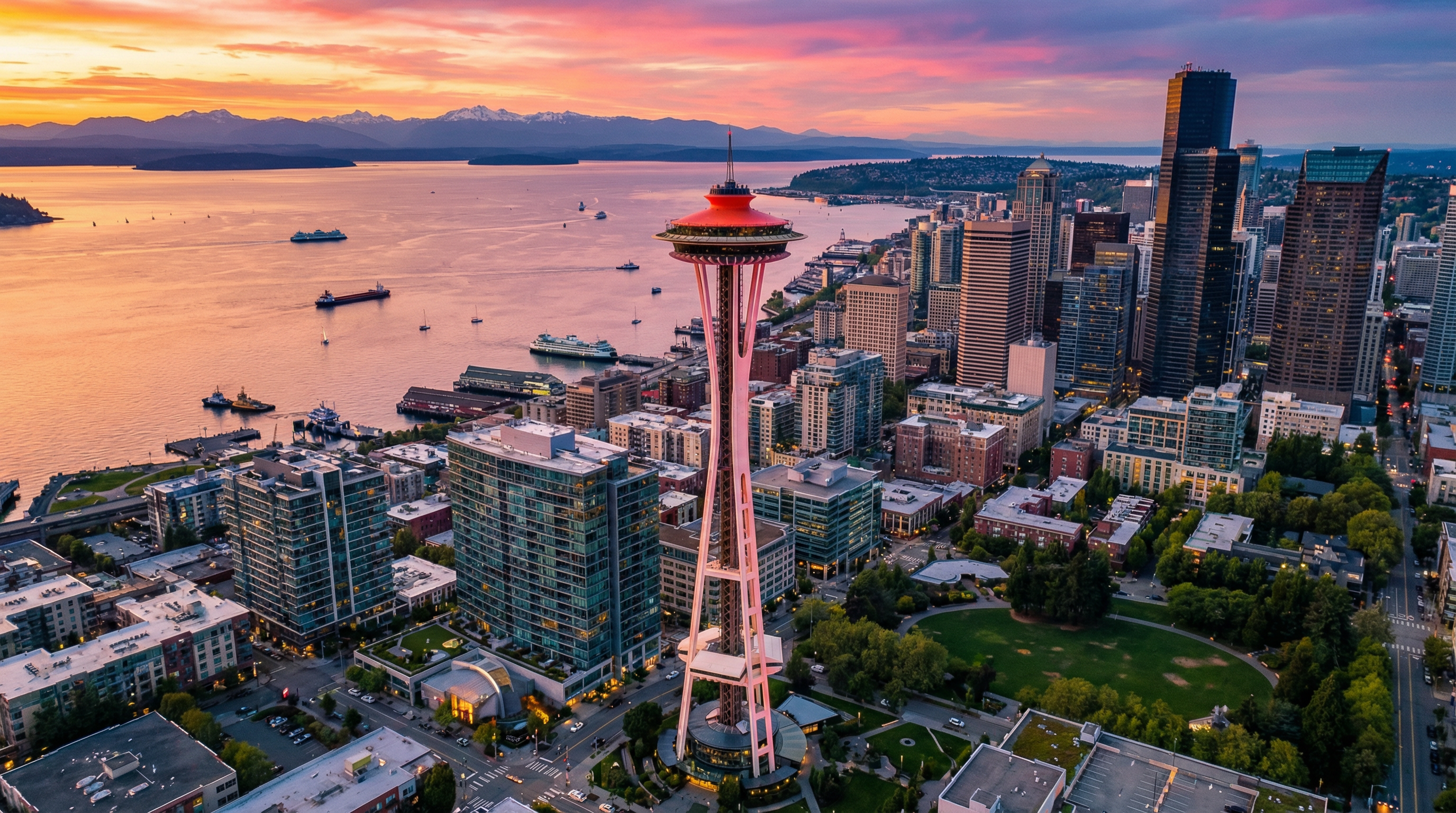
Book a demo to see policy communication and fleet monitoring in action, walk through Seattle and LA’s implementations, and discuss how MDS can streamline your city’s AV coordination.
To learn more about how BlueAV Manager can be utilized at your airport, click here.
To learn more about how BlueAV Manager can be integrated into your mobility hubs, click here.